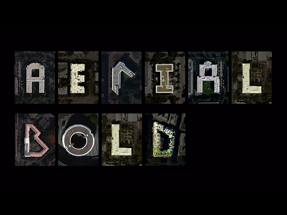
Aerial Bold
Idea & Concept
Benedikt Groß andJoey Lee
Vector Fonts Making
Marco Berends
Machine Learning
Ankita Agrawal, Institute for Artificial Intelligence of the HS Weingarten
Satellite Imagery Data
Sponsored by Mapbox
Funding & Support
Kickstarter backers and friends of Aerial Bold. We ♡ you!
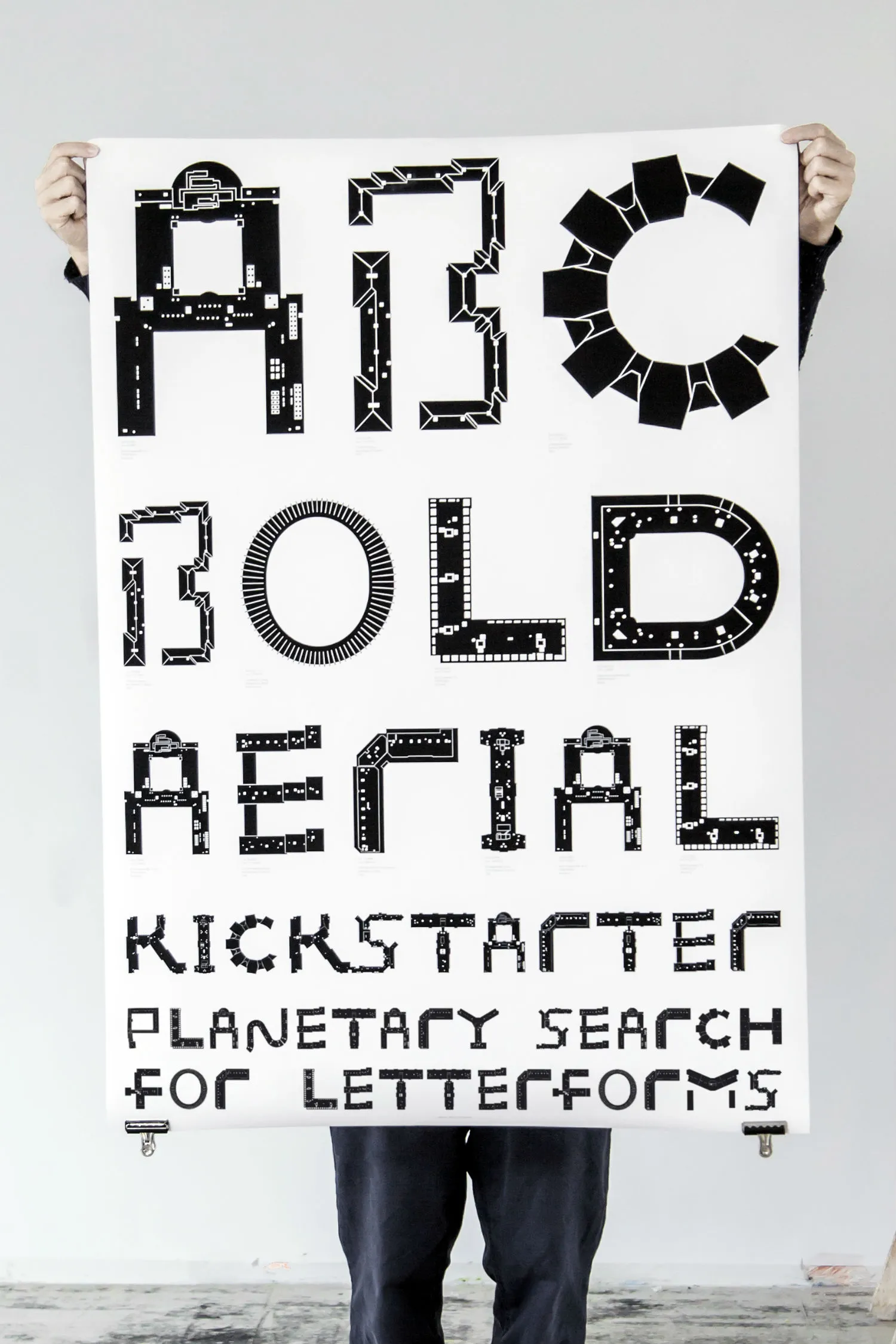
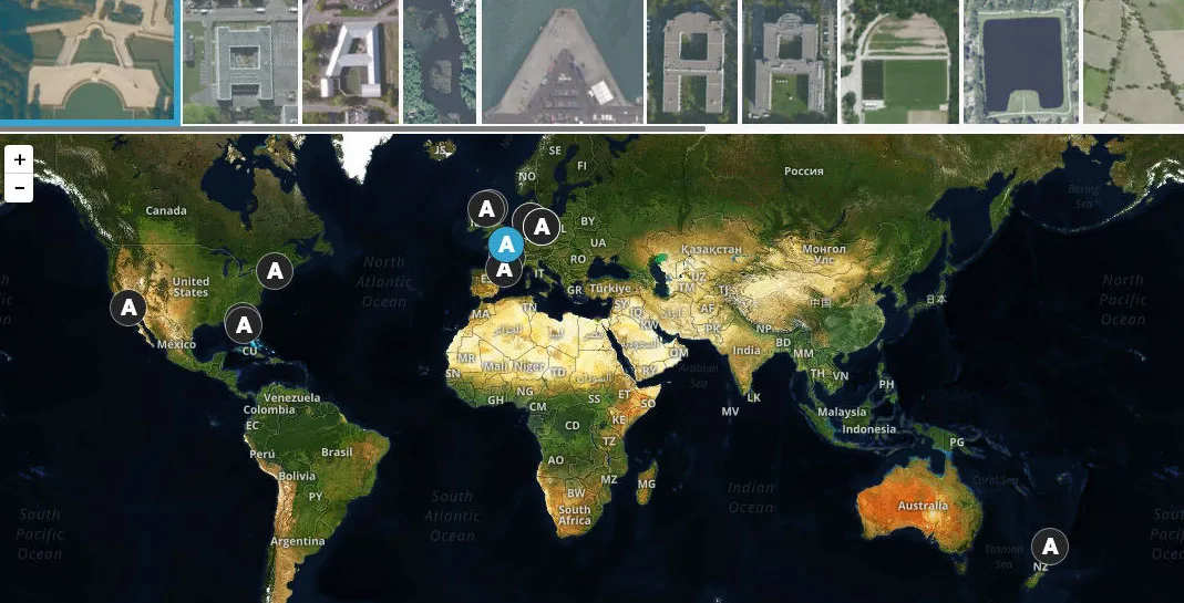
Contrary to popular belief, much of the world has not been mapped. While satellites orbit around the earth taking hundreds of images each day, there is limited knowledge on what unique features have been captured on those images and even less awareness about the ways in which those features can be found and classified. To raise awareness about some of the modern and increasingly prevalent tools and processes surrounding contemporary geographic discovery and mapping, the authors created Aerial Bold, the first map and typeface of the earth. Process
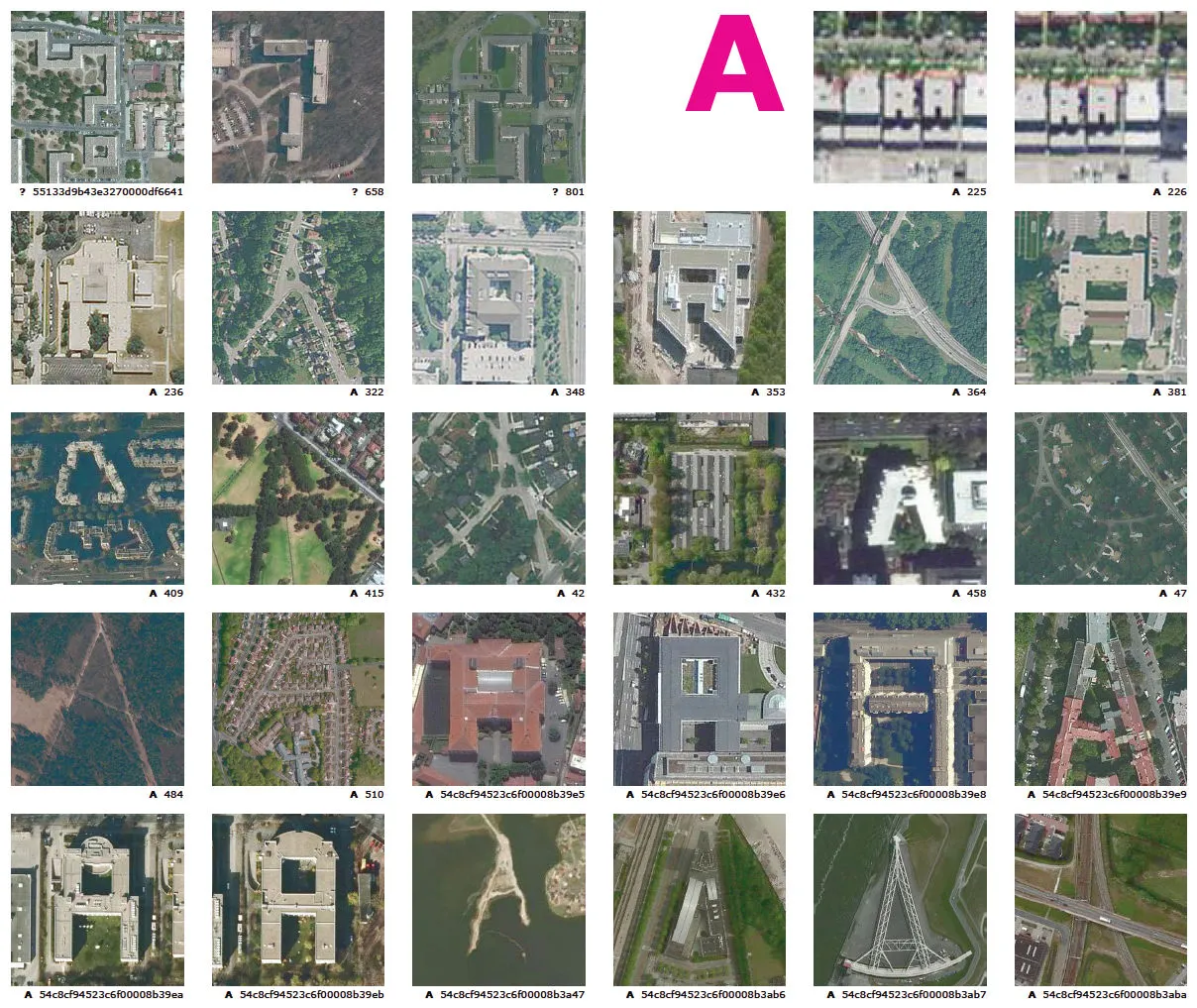
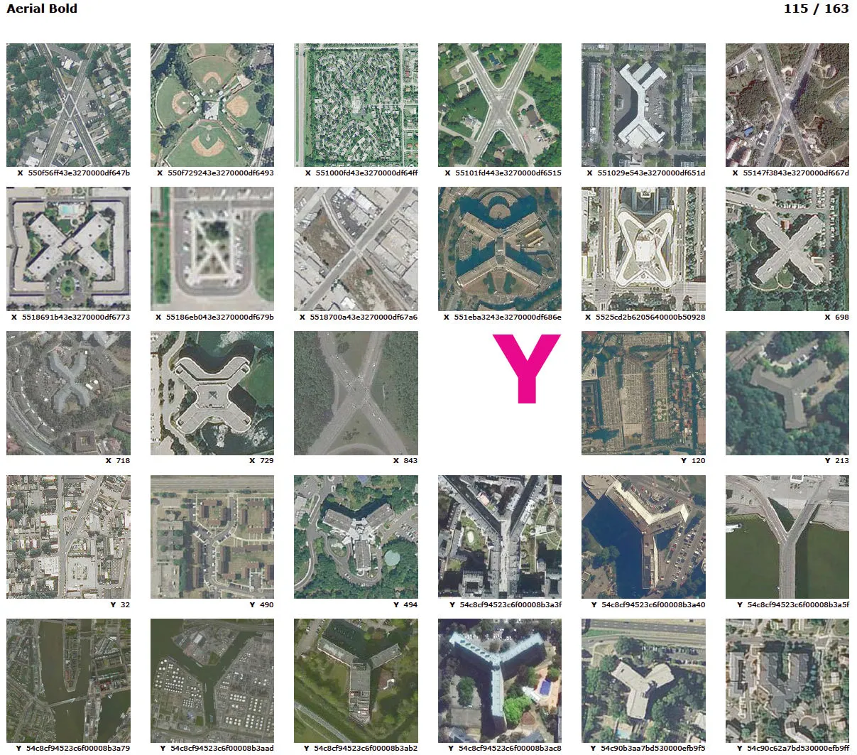
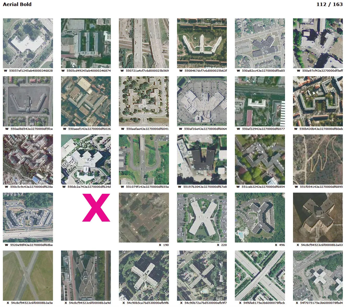
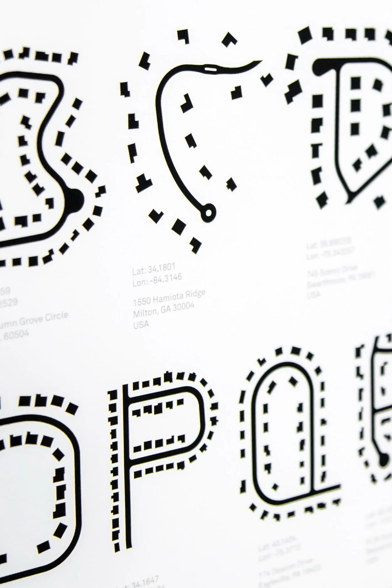
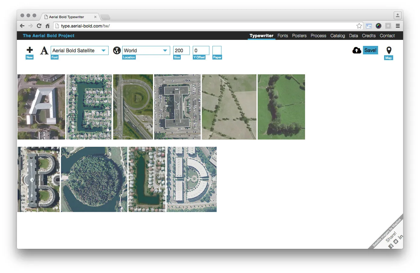
Aerial Bold is a process based work that uses alphabet shapes found in aerial imagery as a vehicle to highlight several major themes – 1. the active role of artists and designers in being data producers rather than passive data users, 2. the processes involved in deriving geographic data from aerial imagery, both through crowdsourcing and machine learning, and 3. the increasing need to make data tangible and usable in alternative ways.
The authors explore these themes through their exploration of the technologies and emerging, cross-disciplinary collaborations that facilitate new methods of processing, filtering, drawing, and semantically enriching data derived from aerial imagery, in this case for mapping letterforms found on earth’s surface. The project seeks to engage a larger community of people – artists, designers, scientists, researchers, and lay audiences – to look deeper into satellite and aerial imagery and to discover it as rich, geographic data and as a material for creating art and understanding space.
As a collaboration between scientists, artists, and designers in backgrounds ranging from computational and speculative design and geography to machine learning, the authors were curious to explore the potential for computer vision to help automate the process of feature detection and classification in aerial imagery in the context of map art. Specifically, they were interested in the possibility for machine learning to help automate the process of “reading” the landscape and “writing” new meaning into geography with data derived from computer vision. The result of this exploration is Aerial Bold.
→ See the project on Kickstarter
