Streetview Mapper
Concept & Development
Joey Lee
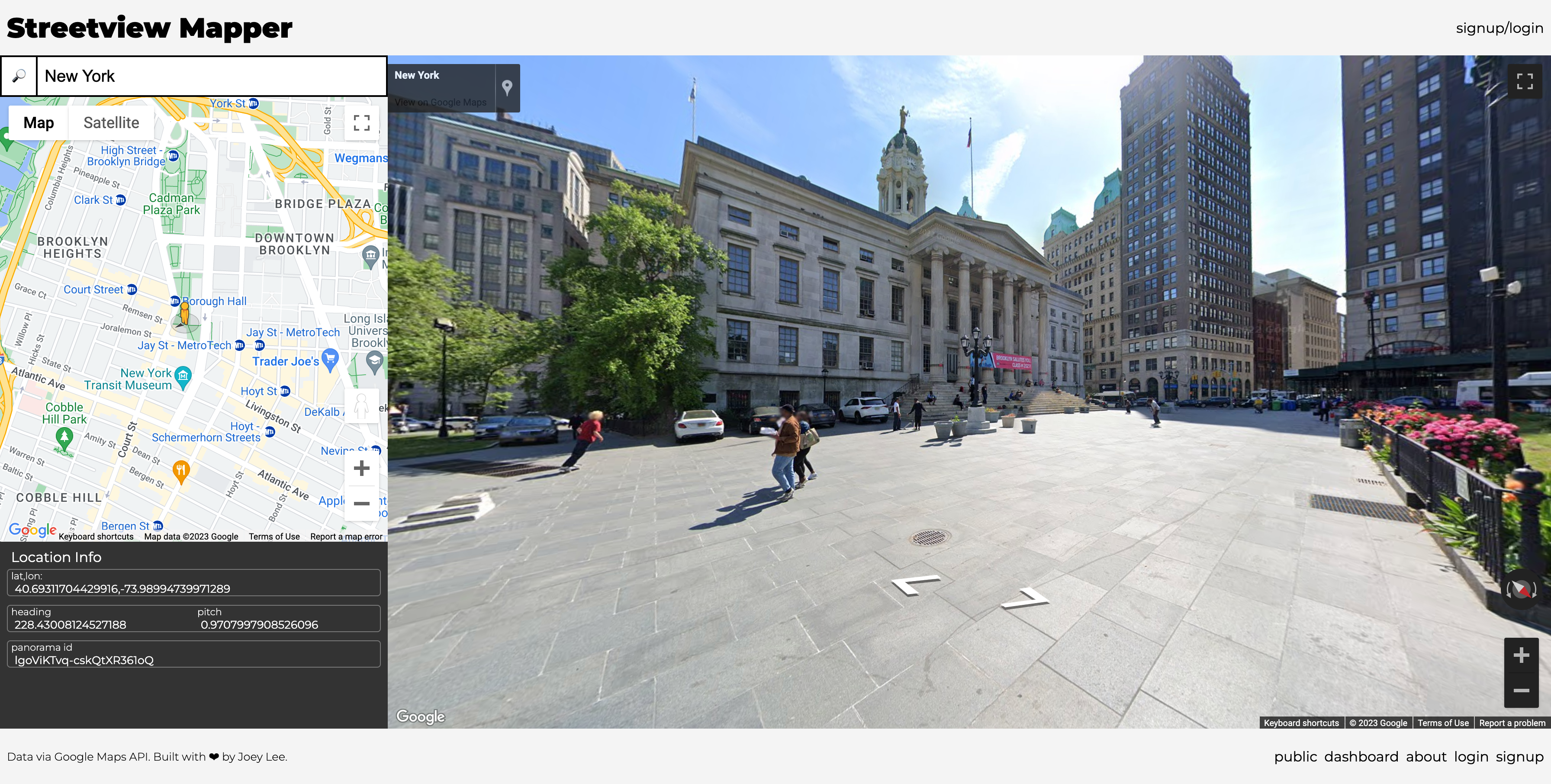
Streetview Mapper is a simple tool to allow curious mappers (like you!) to take «snapshots» of the world through Google Streetview. These snapshots are stored in a database to allow people to revisit what things they’ve found remarkable, noteworthy, strange, funny, weird, and compelling in one way or another.
For my course «All Maps Lie» at New York University’s Interactive Telecommunication Program (ITP), my students were supposed to perform their own «Data Walks», physically collecting data about the urban environment and infrastructure. However given the need to stay indoors during the Covid-19 pandemic, it was necessary to find other mechanisms to observe the world, explore spatial media, and practice paying attention. This tool was developed out of this need to provide other ways to explore and observe the world.
This project was built during the 2020 COVID-19 pandemic.
→ You can read more about the project at the Project Documentation Page
(The Streetview Mapper is no longer being maintained - beware, links may be broken!)


