Seattle's Steepest Streets
Concept & Development
Joey Lee
Seattle is a city of hills; its history and its character are inextricably shaped by the contour lines of its topography. There’s no doubt that to know Seattle’s hills is to know the city. If you spend any amount of time here, you’ll find that Seattle’s hills are a central to how people here live, work, and play. Not only are there are a lot of hills in Seattle, but there are a lot of steep ones!
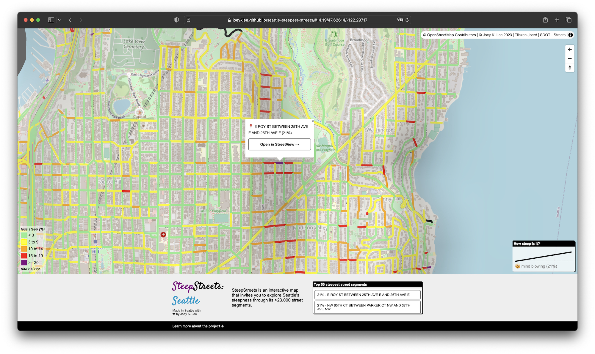
SteepStreets is an interactive map that invites you to explore Seattle’s steepness through its >23,000 street segments. This interface is a fun way to get a sense of the “shape of the city” and provides a tool to appreciate the importance of Seattle’s hills in shaping city life.
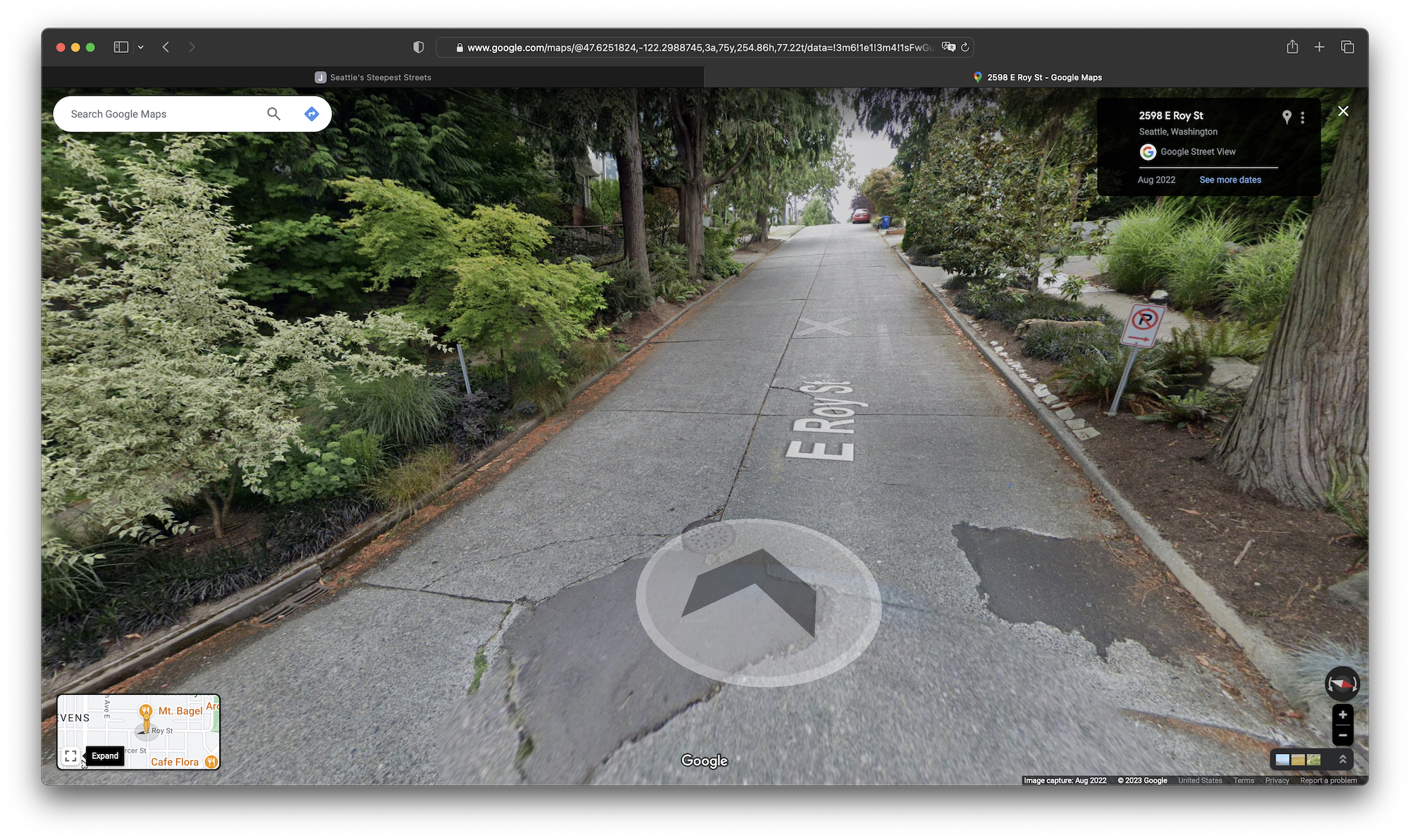
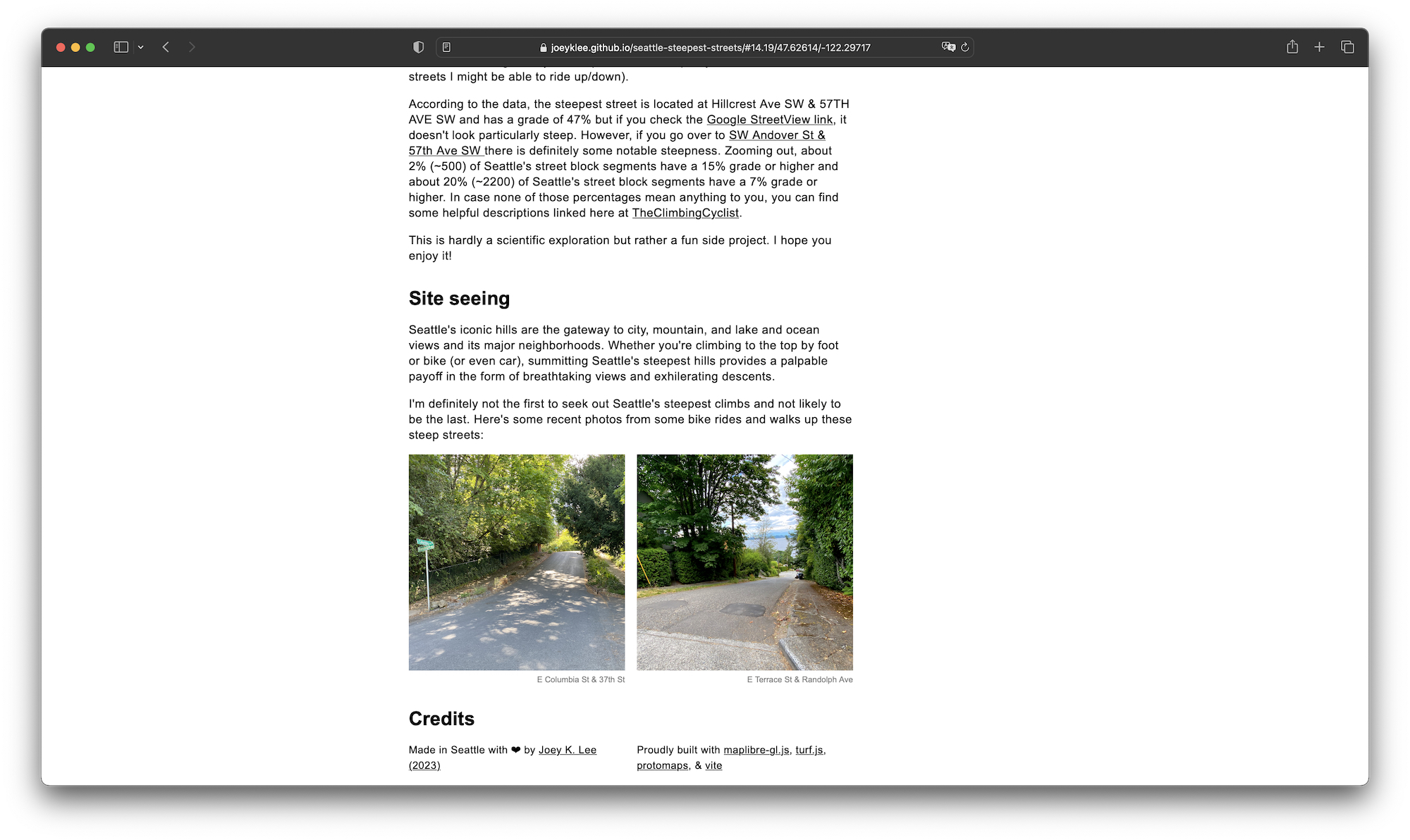
→ See the project at SteepStreets: Seattle